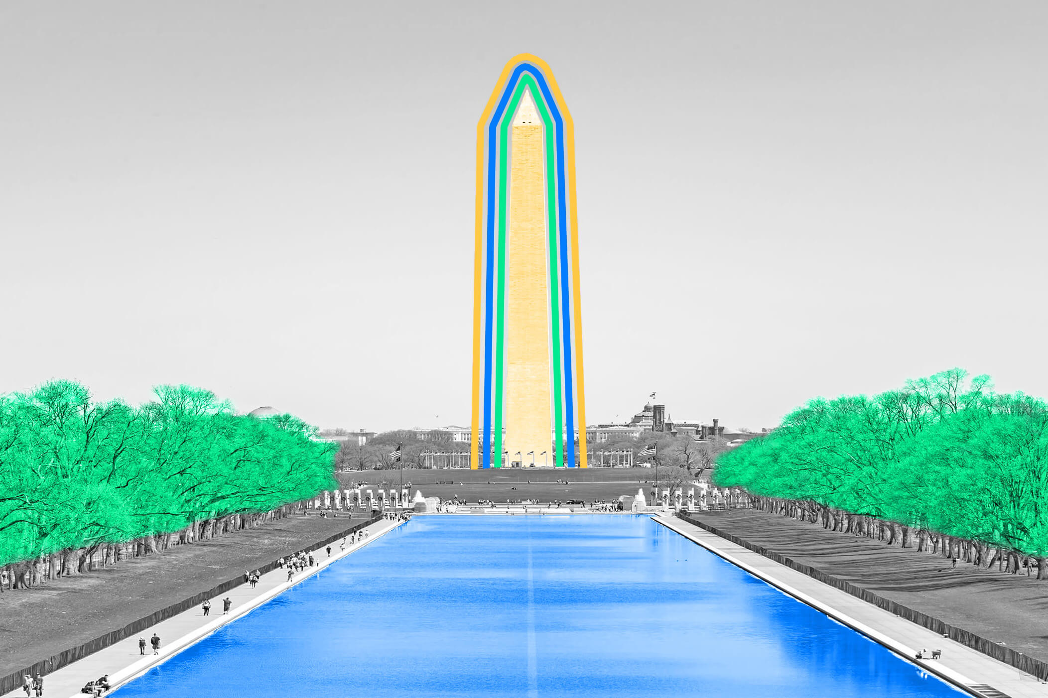
| Hidden directly in front of the Washington Monument, encased in brick and tucked under a manhole cover, is another Washington Monument — only in miniature. But this 12-foot-tall replica isn't in the business of paying homage to one of America's Founding Fathers. Instead, its purpose is much more down-to-earth; specifically, measuring the Earth. This hidden monolith is actually a geodetic control point, one of some 1.5 million such markers across the country that are used as part of NOAA's National Geodetic Survey (NGS). These points give mapmakers, engineers, surveyors, and project managers a body of fixed and reliable data points across the U.S. to determine location and elevation. Because this particular point was so close to the Washington Monument when the marker was built in the 1880s, its creators decided to borrow the monument's likeness. Usually, geodetic control points are little more than metal poles encased in concrete, topped off with a bronze disc saying what kind of mark it is (an azimuth mark, bench mark, gravity mark, etc.). Some markers may also commemorate important moments — one marker on the University of Utah's campus both honors the 2002 Winter Olympic Games and serves as a control point — and Walt Disney World even has its own network of geodetic markers throughout its parks. Although most people don't know it's there, the Washington Monument marker has been used in every NGS survey ever conducted since the early 1900s, and was recently used to remeasure the surrounding area after the 2011 Virginia earthquake. Despite being mostly obsolete in the era of GPS, these markers now help surveyors place GPS-receiver antennas and provide an analog method of checking the accuracy of these systems. | 


No comments:
Post a Comment